|
|
||||||||||||
 |
 |
|
Wolcott Historical Society History for December 2013 By Florence Goodman On November 1st, the Wolcott Historical Society held its Annual Dessert Card Party at the Rietdyke Senior Center. I had planned on writing about the Card Party for those readers who have never attended this unique event. Then I received a very interesting email and decided I had to share its contents with you; so instead of one story, this month you will get two. Initially, I will discuss a recent uncovering at the Edgewood Cemetery.
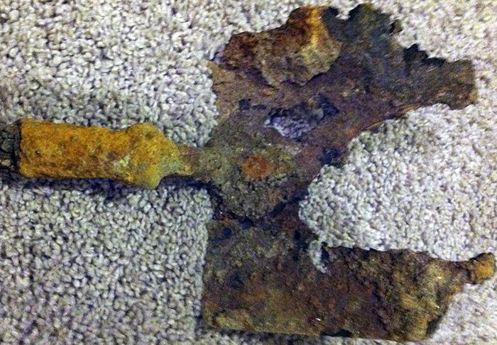
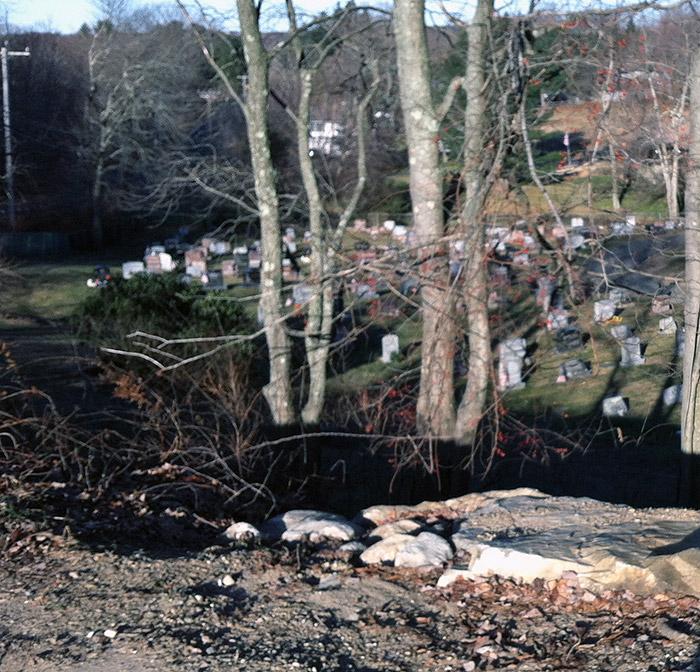
Last Tuesday, November 26th, I received an email from Peter Rush who is the grounds foreman at Edgewood Cemetery. While opening the ground for a new burial, the crew discovered a stone wall about four feet below the surface. As they examined the wall, they found an old rusted shovel inside it. Peter stated that the wall ran parallel to Bound Line Road about 150 feet inside the cemetery and he wanted to know if I could give him any information about the it.
I explained that I felt the wall was probably part of an old property boundary along Center Street because the paths of Center Street and Bound Line Road changed over the years. As I continued to think about it, more information came to mind. Edgewood Cemetery, which was established in 1764, has increased in size over the years. The original cemetery was only a half-acre, but in 1798 it increased to three-fourths of an acre and by 1870 it was almost two acres; and in the late 1900s more land was purchased. Thus as its boundaries changed, the walls that marked them changed and very easily could have been buried over time.
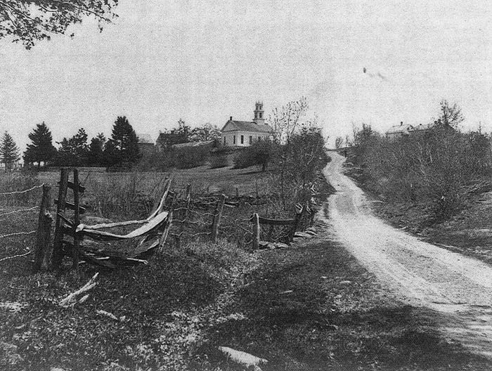
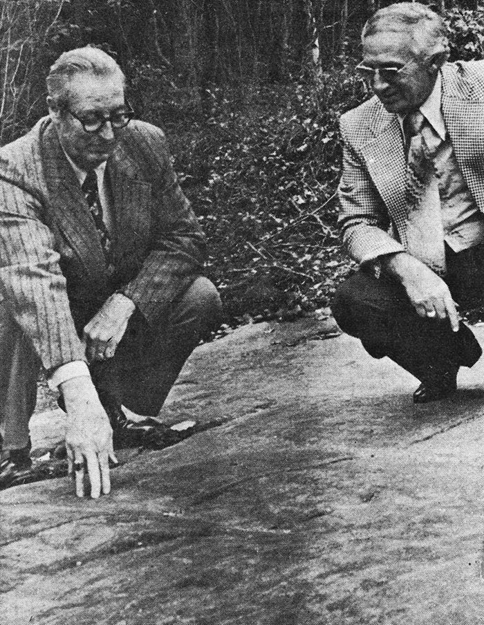
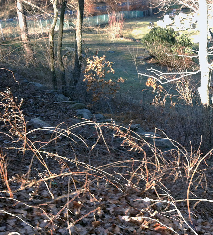
Another fact that showed the path of the road had changed was an article in the Waterbury Republican American about, "Colonial wagon tracks being uncovered" in the Congregational Church parking lot on the corner of Bound Line Road and Center Street. In 1978 the church was clearing that piece of land to make the parking area when they discovered tracks or grooves in the ledge. John Washburne, who was the Wolcott historian at the time, said that the tracks were made by, "wagoneers setting their brakes to prevent an uncontrolled downhill run" as they went down Center Street. In a later article in May of 1979, it was agreed that the Jaycees would build a wall to protect the wagon tracks. This shows that Center Street originally went down into today's cemetery boundaries. As I examined the western edge of the parking area the remains of an old wall is evident at the bottom of that hill.
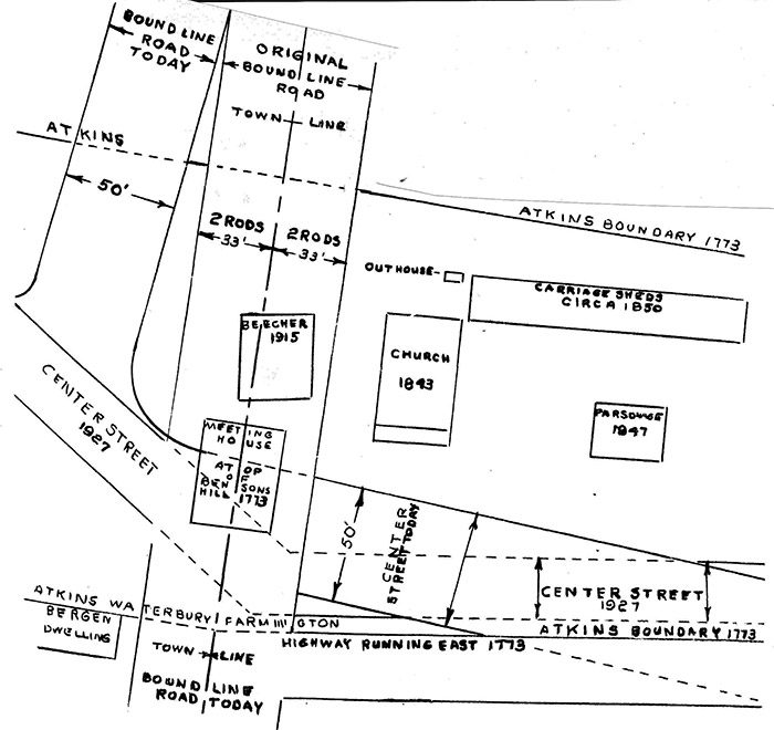
One last factor that explains this move is a diagram that John Washburne drew and included in a booklet he wrote for the 200th Anniversary of the Congregational Church in 1973. This diagram shows the original and present day locations of Bound Line Road and Center Street. You can see that Beecher Memorial and the original Congregational Church were located on the old Bound Line Road. In fact the first church was built so that half of it was in Waterbury and the other half in Farmington. The diagram also shows "Atkins Boundary 1773"; Joseph Atkins gave two acres of land in 1772 for the Green and the site for the church. It's hard to imagine what the land looked liked almost 250 years ago when those early families began to settle here, but it is intriguing to try to figure it all out. I hope you now have another piece of the puzzle in Wolcott history.
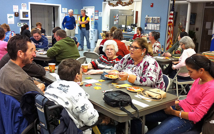
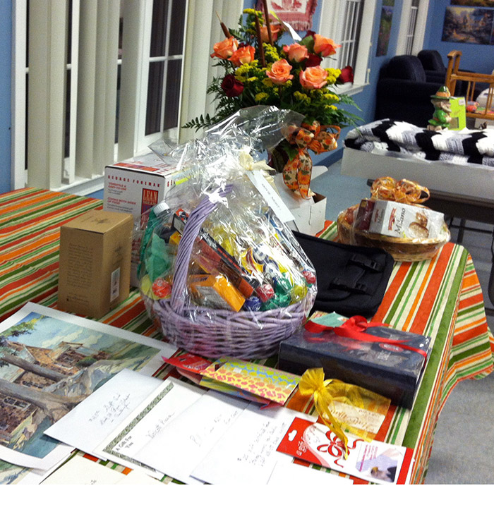
If you have never attended our Dessert Card Party you don't know what you are missing. For a $5.00 donation at the door you get quite a deal. It includes a variety of pies, cookies, coffee, tea, hot chocolate, soft drinks and apple cider! There are door prizes, a special prize table and a penny auction. If you don't want to play cards bring your favorite board game to play. It is a wonderful time to socialize with friends and family and just have fun!!
Door prizes come from the following merchants and we wish to thank them publicly. Bill & Sam's, Denise's Hair Affair, La Fortuna's, McBride's Pizza, Pat's I.G.A., Orchid Florist, Raymond's Lumber, Sandy's T.V., Scully's Travel, Stacey Lynn's Hair Studio, Sovereign Bank, Scrap Booking Memories, USB, New Haven Pizza and Wolcott Pizza.
For the past 25+ years Amelia Upton and her sister, Flo Ayers, have run our penny auction and we have greatly appreciated their hard work. Sadly, Amelia passed away this year, but Flo and another sister provided a great penny auction. We know that Amelia was with us in spirit.
So if you missed our Card Party, mark your calendar for the first Friday in November next year. This is our main fundraiser and membership drive and we do appreciate all those members who attended the Card Party and/or joined the Society.
(Information for this article was taken from, "The Meeting House Atop Of Benson's Hill" by John Washburne, an article from the Waterbury Republican-American, 5/14/1979, Waterbury Republican-American, 1978 and a conversation with Peter Rush, grounds foreman at the Edgewood Cemetery")
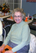
Amelia Upton, 2012.
The Leonard family and friends enjoying the evening.
An early view of Center Street approaching the Green.
Diagram by John Washburne.
Door prizes donated by local merchants.
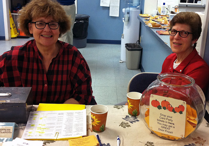
Jeanette Horzepa and Lorrie Minervini selling tickets.
Shovel found in the wall.
John Washburne and Mayor Lango in 1978.
Old wall about where grooves were found.
Approximate location of where Center Street was located.
To view past installments of the Wolcott Historical Society News, click here.
|
|
|
[Home]
[News]
[Purpose]
[Calendar]
[Museum]
[Membership]
[History]
[Contacts]
[Links]
All material at Wolcott Historical Society Web sites Copyright © 2000-2013 Wolcott Historical Society |